Provided below are several mapping products managed by the Town of Stallings. Please note that these maps should be used for planning purposes only. They are updated regularly, but may contain out of date information.
Interactive Zoning Map
|
Interactive Development Map
|
 |
 |
|
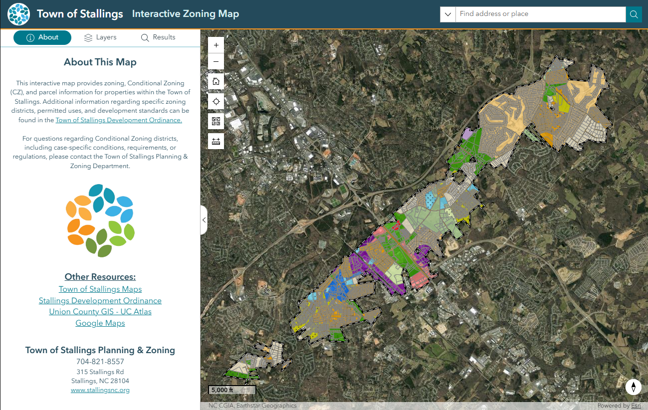
The Interactive Zoning Map provides an easy way to explore zoning information for properties throughout the Town of Stallings. Users can search for a property or select features directly on the map to view zoning details and other location-based information, including neighborhoods, parks, address points, and Town Council districts. The map also includes interactive layers, a legend, and print options to help users better understand zoning and related information for a specific location.
|
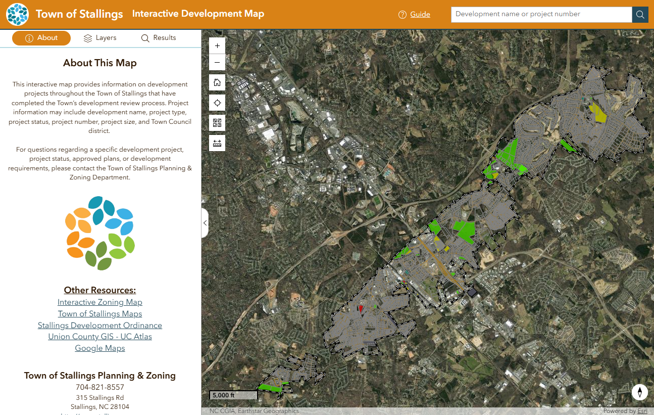
The Interactive Development Map provides an easy way to explore development projects throughout the Town of Stallings that have completed the development review process. Users can search by development name or project number, or select projects directly on the map to view project details, including development status, project type, project size, and Town Council district. The map also includes interactive layers, a legend, and print options to help users better understand development activity throughout the Town.
|
Stallings Planning & Zoning Maps
|
Stallings Community & Reference Maps
|
|
|
|
Stallings Engineering Department Maps
|
Union County Data & Maps
|
|
|
|