FEMA Preliminary Floodplain Map Updates
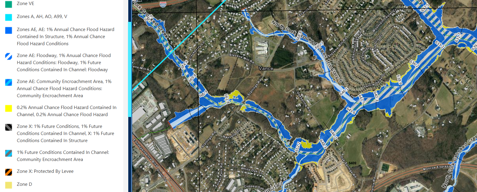
FEMA is in the process of updating its FIRM Floodplain Maps for Union County. Property owners may receive a letter because their property is proposed to be affected by the updated floodplain maps. Map updates are based on community-requested flood hazard data needs for specific streams. You can view updated floodplain maps at: North Carolina Flood Risk Information System (FRIS).
What are Flood Insurance Rate Maps (FIRMs)?
FIRM is the official map for a community that determines areas that have the highest risk of flooding. FEMA maintains and updates the data used to create the map. More information can be found at Flood Maps | FEMA.gov.
Why do flood maps change?
As FEMA or the State updates flood maps, some structures are newly mapped in the SFHA. This is due to many factors including updated modeling, land use patterns, and:
-
New development: Construction - any development can change flood risk and increases impervious services.
-
Environmental changes: Changes in the environment examples include hurricanes effects, rising sea levels, more intense rainstorms, and increased storm surges can impact flood risk.
-
Better data: New scientific or topographic (and Lidar) data can lead to changes in flood zones.
-
Moving streams: Changes in streams can impact flood risk. The shape of rivers and streams changes through time as erosion, deposition, and transport of sediment occurs.
Why is FIRM Important and Why Should You Use It?
-
Floods are among the most frequent and costly natural disasters in terms of human hardship and economic loss. North Carolina's Digital Flood Insurance Rate Maps (DFIRM) enable business leaders and residents to more accurately predict flood hazards and prepare for flood risks.
-
Flood maps help mortgage lenders determine insurance requirements and help communities develop strategies for reducing their risk. The mapping process helps you and your community understand your flood risk and make more informed decisions about how to reduce or manage your risk.
-
People within a community use flood maps to make informed decisions about where to live, what to build, and how to protect their family, homes, and businesses.
How to Read Flood Insurance Rate Maps:
How to Read a Flood Map
FEMA provides a detailed explanation on how to read flood maps, important terms to know, flood zone designations, and how to use their National Flood Hazard Layer (NFHL).
Changing Your Flood Zone Designation
If you believe your property has an incorrect flood designation you can submit a Letter of Map Change (LOMC) here: Change Your Flood Zone Designation | FEMA.gov